Monday, February 2, 2015

Final leg of hike for 2014 - Summit Lake to Highway 58

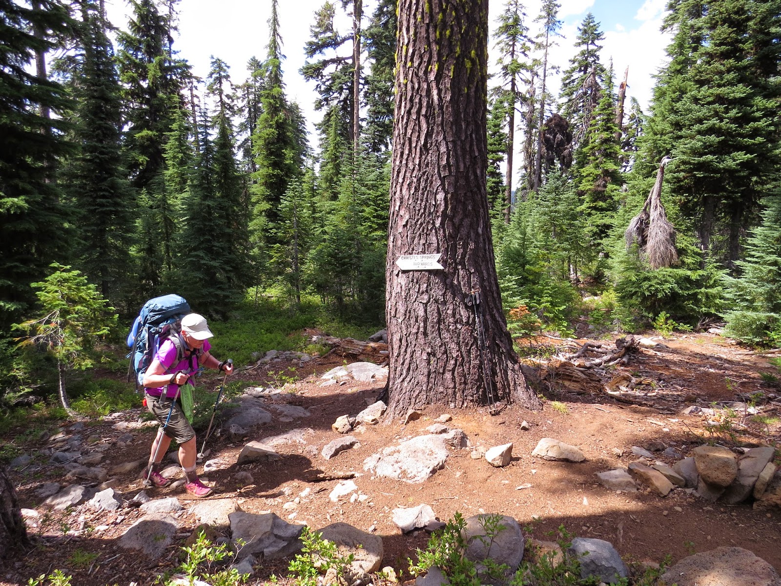
This is the final set of photos from our PCT hike during 2014.  During the afternoon before we got to Summit Lake, I started to get a pain on the outside of my left foot.  It wasn't too bad when we started our hike toward Diamond Peak, but got much worse as we headed downhill toward the highway.  We were hoping we could make it to Odell Lake for the night, but it became obvious that I needed to stop and rest my foot, so we stopped at Arrowhead Lake - about 4.5 miles from the highway.  I tried to email Allison to let her know that we were quitting the trail and she didn't need to bring up our resupply food, clothes, etc., but I didn't have any cell service and my phone battery was almost dead.  I turned on my phone a couple times the next morning as we were hiking down toward the highway, but still didn't have any cell service.  Finally, as we got down to the road into Shelter Cove Resort on the west end of Odell Lake, I got one bar on my cell phone, so I texted Allison with my battery almost dead to let her know our location and she came driving around the corner a couple minutes later to end the hike.  Below are some photos from our last day on the trail.

For larger view of photos, click on one of them.

Summit Lake with Mt. Thielsen & Cowhorn Mountain.
A water break at Mountain Creek - just at timberline below the east flank of Diamond Peak.  Below are a few of the wildflowers that were still in bloom.
Tolmie Saxifrage

Cotton Paintbrush

Partridge Foot

Mountain Heather
The South and Middle Sister with Mt. Washington to the left.

Our campsite at Arrowhead Lake.

Looking across the lake from the PCT toward our campsite.
An American Three-toed Woodpecker I found near our campsite.
We're planning to start at Highway 58 in mid-August of this year and make it to the Columbia River this time!

Sunday, February 1, 2015

Familiar territory! Windigo Pass to Summit Lake

After spending the night at Windigo Pass, we headed north and into a portion of the PCT that I've hiked on many times in the past.  So it was nice to see familiar sights along the way.

Our first view of Big Marsh and Odell Butte - an area where I've spent many days fishing and birding over the past 40+ years.

Our last look back at Mt. Thielsen - where we were just a few days before.

Our first look at Cowhorn Mountain - Jim Carlson and I climbed it in a day from Timpanogas Lake on 22 August 2002.  Almost 12 years to the day!
A closer look at Cowhorn Mountain from the south.

Crescent Lake with Davis Lake in the background.

Diamond Peak and Summit Lake, our destination for the night.

Sawtooth Mountain with Amos and Andy Lakes.

An immature male Red Crossbill.  We had a number of Red Crossbills coming down to our fire pit at Summit Lake for trace minerals in the charcoal.  We also had Gray Jays (camp robbers) trying to get food during dinner, and one did grab some oatmeal from my bowl before I knew they were around in the morning.
Staying in the Summit Lake campground was quite different than what we were used to with all the activity of a campground along a road and on a lake.  It kept us entertained watching everything that was going on in the afternoon and evening, but it also made trying to sleep more difficult with all the noise.
We had another PCT hiker stay in our site and share our table, given that the campground was full.  He was trying to give us extra food that he didn't need because he was resupplying at Odell Lake the next night, but we didn't want any extra weight given that we were doing the same thing.

Highway 138 to Windigo Pass

After a little help from Allison yesterday, we camped at North Crater trailhead last night and took off this morning on the uphill climb to Thielsen Creek and our first water stop.

For a larger view of the photos, just click on one.


After climbing uphill in the timber we finally came to a rock slide that provided a view.  Here's Diamond Lake with Mt. Bailey in the background.

And looking the other direction is Mt. Thielsen.

Thielsen Creek - water and time for lunch.  We were planning to camp here, but it was still early so we continued on.

The sunrise on our 9th day from the PCT near Tipsoo Butte.  Another dry camp last night.

Red Cone, just north of Tipsoo Butte, in the morning sun.

Looking down on Miller Lake from the PCT.


We spent our 9th night on the trail at Windigo Pass.

Monday, January 26, 2015

Crater Lake National Park

Here are some photos taken while we were in Crater Lake National Park for almost a day - from the afternoon on the 6th day, through the next morning.
 
 
Nanc at the entrance sign on the PCT - a nice new sign for the middle of nowhere!
 

A view of part of the lake from the main parking lot near the lodge in the evening.
The other portion of the lake in the evening.  These two photos weren't taken from the same place, so I couldn't stitch them together like the ones below.


A couple views of the lake from the rim trail in the early morning.

The above two photos were made by stitching two photos together in photoshop.

We elected to hike the rim trail around a portion of Crater Lake instead of hiking the PCT through the western part of the park, and joined the PCT north of the lake.

Sunday, January 25, 2015

2nd group of photos from last summer - Sky Lakes to Crater Lake.

These photos are from the Sky Lakes Wilderness to Crater Lake National Park, except for the last photo - taken on days 4, 5 and 6 of our hike.  On day 4 we left Island Lake with full water bottles and hiked almost all day before we could refill them at a small creek just north of Devils Peak.  On day 5 we again filled our water bottles and then made an off trail stop at Ranger Springs to fill our water bottles and my extra 2 liter platypus because that night would be a dry camp - a very heavy load for that afternoon!
 
 
Snow lakes basin from PCT.

Luther Mountain which is just off the above photo to the right.

PCT at Shale Butte area with large fire burning at the edge of Hemlock Lake basin.

PCT between Shale Butte and Devils Peak - very narrow trail in places with a few hundred feet of open rock below, so no missed steps advised!

Nanc at rest stop before heading down the north side of Devils Peak.

Looking north from the saddle at Devils Peak with trail at left center of photo.

Small meadow where we stopped for night on 4th day.  There was a small stream running through it for water.  Large numbers of Clark's Nutcrackers flew into the area at dusk, being quite vocal.

Ranger Spring.

Another view of Ranger Spring.

A large, old fire that we hiked through for a number of miles in the area of Jack Spring.

Another view of the same fire area.

Our first view of the rim at Crater Lake on the morning of the 6th day.

A rocky ridge shortly before getting to the national park boundary.

The top of Union Peak which is inside the national park.

This is the view south from the rim of Crater Lake National Park on the evening of our 6th day.  I assume the large smoke plume is from the fire we passed in the area of Shale Butte on day 4.  We heard from hikers headed south today that the PCT was closed in the Devils Peak area - I guess we made it through just in time!

 
We were met by Allison at Highway 62 in Crater Lake National Park for our first resupply.  We got our first shower in six days and had dinner and breakfast in the lodge cafĂ© - Luxury!
More photos to come shortly.

Saturday, January 24, 2015

Photos from last summer and thinking about starting again this summer.

Now that it's a new year and I've started thinking about finishing our hike on the PCT this summer, I thought I would post a few of the photos that I took during our eleven days on the trail in southern Oregon.  I didn't take many photos on the first few days of the hike, given that I was getting use to the rhythm of hiking with a pack, etc.

For larger view of the photos click on one of them.


A rest stop at the Howard Prairie canal on our first day.


Mt. McLoughlin from the lave fields around Brown Mountain and our first fire near the trail.  The fire was just south of highway 140 near Fish Lake.
The tiny red huckleberries where I was hoping to find a Pine Grosbeak, but no luck on that.
Nanc taking a break in the shade above Four Mile Lake.
Christi's Spring!  It doesn't look like much, but we were very glad to get there.  If you look in the upper left portion of the photo, you'll see a green leaf (it's below the long gray log) that someone placed there to get a nice stream of water to fill our water bottles.

The trail sign to the spring.  We thought we'd missed it a couple miles back and were sure glad we didn't!
Camp at Island Lake in the Sky Lakes Wilderness.  The trail down to the lake from the PCT was VERY buggy, but it wasn't too bad at the lake.  Our third night on the hike and we were starting to get things into a routine.

Sunrise at Island Lake.  I took my first swim of the hike here to get some of the dust off, but Nanc waded into the lake and cut her foot on some broken glass or a sharp tin can.
I'll post more of my photos as time permits.
I went to REI last week and got a new pair of hiking shoes for the trail, so I'm starting to get things ready for this summer's hike.  Our plan is to start at Willamette Pass (Highway 58) where we had to stop last summer because of my foot and continue to the Columbia River.  It should take us about 20 days to do that.